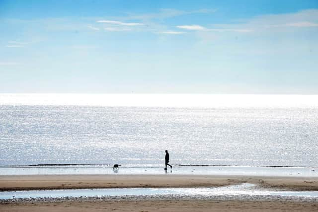
How long will the heatwave last?


Today is expected to be even warmer with bright sunshine forecast for the rest of the day.
But the Mediterranean-style weather isn't set to last as a weather warning for thunderstorms is in place for Wednesday, when temperatures are also set to drop to just over 20C.
Advertisement
Hide AdAdvertisement
Hide AdThe Met Office forecast for the North East for the rest of this week:
Today
Dry, hot and rather humid across much of the region, with long sunny spells. Inland there's a low chance of a thundery shower through the afternoon and evening. Feeling cooler towards the coast, with a freshening breeze. Maximum Temperature 32 °C.
Tonight
After a clear start cloud will spread across with an increasing risk of thundery showers, mainly later in the night. Remaining very warm with winds easing across inland areas. Minimum Temperature 20 °C.
Wednesday
Hot and humid with intense thunderstorms affecting some areas, mainly at first in the morning and again during the afternoon, with possible gusty winds and large hail. Maximum Temperature 27 °C.
Outlook for Thursday to Saturday

Advertisement
Hide AdAdvertisement
Hide AdFeeling cooler with temperatures returning closer to average values. A lot of dry, bright weather with some showers, these most likely on Friday afternoon.
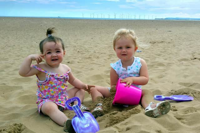
Warnings issued as temperatures rise
Much of the country basked in sunshine on Monday, with the mercury reaching 30C in London's Kew Gardens and St James's Park, 28.7C in Cardiff, 24.8C in Edinburgh and 25.9C in Castlederg, Northern Ireland.
Thermometers are expected to climb to 34C (93.2F) today, bringing an even warmer day, and prompting Government officials to issue health warnings.
Public Health England (PHE) is urging people to look out for elderly relatives and friends who may be susceptible to the high temperatures - and to take extra care of young children, babies and those with heath issues.
Advertisement
Hide AdAdvertisement
Hide AdBut the hot and humid air is expected to trigger thunderstorms across much of the UK from this evening until late on Wednesday, with a severe weather warning for rain and the possibility of flash-flooding.
With the warm weather expected to last until the end of Wednesday, PHE is advising a common-sense approach to dealing with the heatwave.
People are urged to drink plenty of water and avoid dehydrating alcoholic and caffeinated drinks, close curtains to keeps rooms cool, open windows and avoid people and animals being left in closed, parked vehicles that can get extremely hot.
There are also warnings to stay out of the sun between 11am and 3pm, avoid physical exertion at the hottest times of the day and stay in the shade - and to put on a hat and wear sunscreen.
Advertisement
Hide AdAdvertisement
Hide AdDr Angie Bone, PHE's head of extreme events, said: "For some people - such as older people, those with underlying health conditions and those with young children - summer heat can bring real health risks.
"This summer we're urging people to keep an eye on those at-risk and if you're able, offer help to stay cool and hydrated."
St John Ambulance has also issued advice, urging people to be aware of headaches, dizziness and cramp which can be signs of heat exhaustion and heat stroke.
Clive James, from the charity, said: "Heat exhaustion and heat stroke are the most serious problems that can develop when the mercury soars, so it's essential that people can spot the signs - such as headache and dizziness - and get them somewhere cool and rehydrated as soon as possible."
Advertisement
Hide AdAdvertisement
Hide AdPollen levels will be high over the country for the next few days, causing havoc for hay fever sufferers - and there may be another restless night on Tuesday as temperatures reach 22C (71.6F) overnight.
Odds-on for hosepipe ban
The hot weather has been caused by a warm plume of air that has worked its way northwards from Spain, the Met Office said.
Forecaster Grahame Madge said temperatures from London to the West Midlands could reach 34C (93.2F) on Tuesday, before thunderstorms bring up to 50mm of rain and the possibility of flash-flooding - with a weather warning for everywhere north of a line stretching from Bristol to The Wash.
He said: "The July temperature record was set on July 1 last year with 36.7C (98.1F) at Heathrow.
Advertisement
Hide AdAdvertisement
Hide Ad"We are not suggesting that temperature will be exceeded by anything we have got this week, but the temperatures that we do have will be the warmest we have seen in the last 12 months."
Wednesday will see highs reaching the low 30Cs, but by Thursday fresher conditions from the Atlantic will bring temperatures down to the more comfortable mid-20Cs, reaching around 22C (71.6F) to 24C (75.2F) by Friday and Saturday.
Bookmaker Coral has offered odds-on at 10-11 that thermometers will reach 37.78 (100F) or higher anywhere in the UK this week, with 1-3 that there will be a hosepipe ban this summer.