Hour-by-hour forecast for South Shields as yellow snow and rain warning continues
and live on Freeview channel 276
The Met Office has issued a yellow weather warning for rain and snow and expects it to be in place until 3pm today, Monday, February 24.
It has said this is likely to lead to some travel disruption, with delays on the roads, stranding some vehicles and passengers, with possible delays or cancellations to rail and air travel.
Advertisement
Hide AdAdvertisement
Hide AdIt has also warned power cuts may occur and other services, such as mobile phone coverage, may be affected.
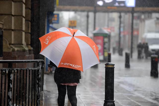

Spray and flooding could lead to difficult driving conditions and some road closures.
Here’s what we can expect according to today’s forecast:
11am: The heavy rain is due to continue this hour, with a 90% chance of a downpour. The stong winds we have experienced in the last few weeks will be evident again, with gusts of 22mpg predicted. While the temperature will be around 3C, it will feel around -1C, with visibility fair.
Noon: The rain will ease off at this stage, although there will still be a 60% chance of showers. The wind will ease off a little, with speeds of around 14mph. While it is predicted to be around 4C, but it will feel around 1C.
Advertisement
Hide AdAdvertisement
Hide Ad1pm: It will be overcast by late lunch, with the chance of rain dropping to 20%.
2pm: The cloud cover will continue, but it will get brighter at this point in the afternoon, with the expectation of rain also dropping off, although the wind will pick up with wind speeds of 22mph.
3pm: It will become more overcast again and windy too, with 32mph winds expected. The visibility will improve though.
4pm: Those gusts will build up speed, with 42mph gales expected. While the temperature will be 6C, it will feel around 1C.
Advertisement
Hide AdAdvertisement
Hide Ad5pm: At this point in the day, we will experience the greatest winds at 47mph, with the skies to remain overcast. Sunset will be at 5.30pm.
6pm: The wind will still be blowing a gale, although the skies will clear a little with partial cloud cover. The chance of rain will be at its lowest for the day from this point, with just a 5% chance of a shower.
7pm onwards: It will be cloudy, with clear spells later on. The temperature will be around the 4C mark, but it will feel like it is -2. The wind speed will remain at around the 40mph point.
The Met Office says across the North East it will remain windy and cold, with a frost and warns snow melt could refreeze, giving some icy patches.
Advertisement
Hide AdAdvertisement
Hide AdOn Tuesday, February 25, the forecasters say it will be less windy than Monday, though remaining cold in a fresh northwesterly breeze.
There will be bright spells, a few snow showers could make their way across from the west, but mostly dry.
The maximum temperature will be 5C.