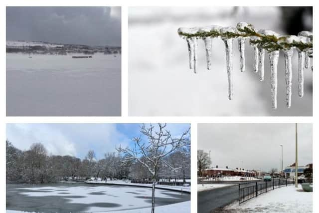
Ice warning for North East as week-ahead forecast predicts milder temperatures


Met Office forecasters have set a Yellow warning for ice, covering the North East as well as many other regions across the country.
It started today at 11am, and is set to run until 11am tomorrow.
Advertisement
Hide AdAdvertisement
Hide AdThe Chief Forecaster's assessment said: "A combination of low temperature and surfaces being wet from rain, sleet or snow and a partial thaw of lying snow will lead to icy stretches affecting untreated surfaces.
"The greatest risk is expected to be in rural areas and higher routes."

After the freezing conditions of the last week, we can expect things to get a little milder (and much wetter) across the region in the coming days.
As it stands, there is no snow forecast for the week ahead - but plenty of rain on the agenda for the rest of today and tomorrow.
Advertisement
Hide AdAdvertisement
Hide AdWe can expect a damp start to Monday with intermittent rain. Temperatures could get up to 5°C, with highs of 7°C predicted for later in the week.
Flood warnings have been issued for the Tyne and Wear coast, and are in force for today's high tide, which is expected to be between 4.15pm and 7pm.
Members of the public are advised to stay away from risk areas and take care next to the coast.
*Got a weather picture to share? Don't forget to tag us on social media.