Drivers warned to take caution as snow warning weather alert is extended for South Tyneside
and live on Freeview channel 276
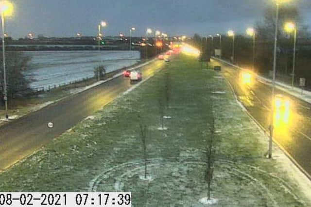
Images from the North East Traffic Cameras network show snow has fallen across the borough, with more predicted by the Met Office during today, Monday, February 8, as a yellow weather warning was extended to run until midnight on Wednesday.
The @NELiveTraffic team shared a host of stills and videos from its cameras via its own social media channels and urged people to driver with caution.
Advertisement
Hide AdAdvertisement
Hide AdIt told followers: “Road Surface temperatures have dropped below -1C across Tyne & Wear.
"Take care due to possible ice on surfaces.
“Please be careful on the roads today & extra vigilant on the untreated areas if your journey is not essential stay indoors & wrap up warm.”
Today’s forecast suggests there will be wintry showers throughout today, leading to snow accumulations to all levels.
It will feel very cold in the strong northeasterly winds and temperatures will struggle to reach above freezing, with the maximum temperature expected to be 1C.
Advertisement
Hide AdAdvertisement
Hide Ad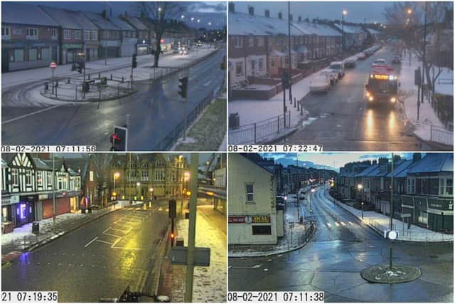

Tonight there will be further snow showers as they move west across the region on a moderate easterly breeze, with a hard frost and icy conditions.
It could get as cold as -6C.

The weather warning says snow of between 2cm and 5cm are likely, up to between 10cm and 15cm in areas where snow showers are prolonged.