
Everything you need to know about whether two hurricanes are set to merge and hit the North East this weekend

The Met Office have said two hurricanes currently located in the western Atlantic are tracking towards the UK as the North East braces itself for stormy conditions, with a weather warning also now issued.
Hurricanes form over tropical seas where the water temperature exceeds 26 degrees Celsius.

Bermuda and the USA states of Florida and North and South Carolina are currently being impacted by the unusual situation of two hurricanes - Humberto and Imelda - both forming in close proximity to each other.
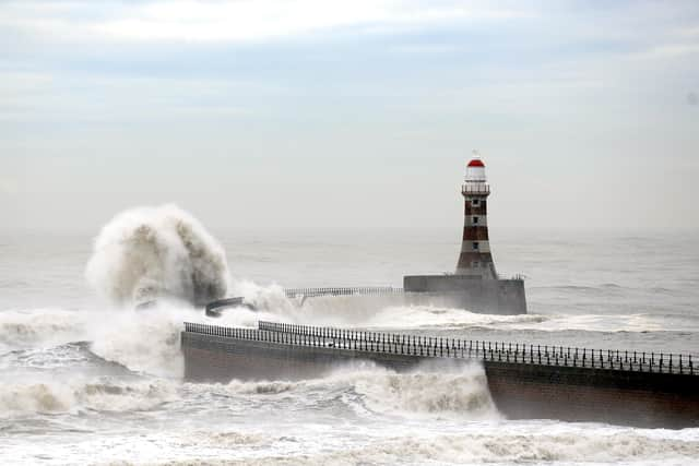
There are currently concerns that the hurricanes could be picked up by the jet stream and driven towards our shores. Whilst the storms will lose intensity as they move into the colder waters of the North Atlantic the remnants of these hurricanes look set to bring a spell of wet and windy weather to the UK, including here in the North East.
Explaining the situation earlier this week, Met Office meteorologist Chris Bulmer said: “The situation becomes more complex later in the week as tropical cyclones Humberto and Imelda, currently over the southwest Atlantic, influence our weather, increasing the risk of a deep low developing near the UK.
“If this materialises, we could see some very strong winds as well as further heavy rainfall Friday into Saturday, but at this time the development and track of this system remains uncertain. We’re monitoring this closely.”
The Met Office forecast for Sunderland, Newcastle, and South Shields is for strong winds to set in on Friday evening where strong gusts remain until Sunday afternoon.
The Met Office has today confirmed the weather system has been named as Storm Amy, the first named storm of the season.
Met Office Deputy Chief Meteorologist Tom Crabtree, said; “Although there is still some uncertainty about the exact track Storm Amy will take, the system will bring gale force winds across northern and western regions, with gusts widely reaching 50 to 60 miles per hour inland in northern Britain, and potentially reaching 70 to 80 miles per hour in places. With even stronger gusts on exposed coasts and hills, mainly in the northwest.
“Heavy rainfall is also expected, in particularly over western Scotland, where totals could exceed 30-50 mm in 6-9 hours, increasing the risk of localised flooding. Forecasts and warnings will be updated as the situation becomes more clear, therefore it is important to keep an eye on the forecast for your area over the coming days.”
In conjunction with the arrival of Storm Amy, the Met office has now issued a Yellow Weather Warning for wind for the North East.
The current forecast suggests heavy rain and strong winds will hit the region from late Friday afternoon (October 3) with gusts of up to 45mph throughout the night.
Whilst the rain will dissipate, winds will increase throughout Saturday with gusts in excess of 50mph from late morning until early afternoon.
Whilst the winds are forecast to ease through Saturday night and into Sunday morning gusts in excess of 30mph will remain until late Sunday afternoon.