
Met Office forecast predicts when North East will next see snow this winter

Weather - and snow in particular - has been the key talking point across the UK over the last couple of days, but how long will these dicussions keep going?
Recent wintry weather has caused chaos across the UK and, at a time when the North East is still navigating issues with the Gateshead Flyover, it isn’t helping commuters as many return to work and education after the Christmas break.
Flights have been delayed at Newcastle Airport and roads across the region have been left unsafe as snow and rain, mixed with freezing temperatures, have left pavements and roads tough to navigate.
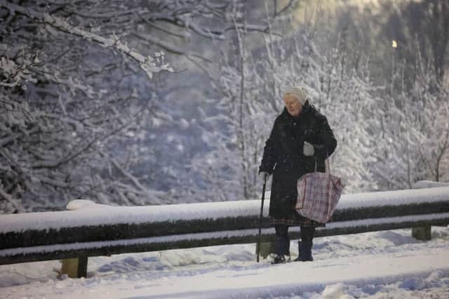

The conditions do not seem to be improving any time soon, with further wintry showers expected over the coming days, and this is when the Met Office forecast predicts more snow to fall in the North East.
Much like what we have seen over the last few days, less snowfall is expected in areas directly near the coast, although things may look very different a couple of miles inland.
Temperatures are unlikely to rise again until the end of the week for a start, with highs of 2°C expected to continue until Saturday, when this will rise to 4°C, getting higher to around 7°C by Sunday.
After further wintry showers on Monday afternoon, skies are expected to clear heading into Tuesday, January 7.
These clear skies are the main reason temperatures will not rise and, while we are more likely to see some sunny weather throughout the working week, we’ll need to keep the big coats on hand for the time being.
Blue skies will turn overcast towards the end of the week, with sunny spells still expected into the start of next week.
Moving forward, the Met Office’s medium range forecast for the region runs from Friday, January 10 until Sunday, January 19 at the time of writing. it reads: “Through the weekend and beyond, high pressure is likely to develop close to the UK, with generally settled conditions prevailing through mid-month.
“That said, there are likely to be some incursions of milder, windier, more unsettled conditions from the Atlantic at times, especially towards the north and west of the UK. These may be preceded by a spell of snow over higher ground and followed by some wintry showers.”
The long range forecast runs into February, with the weather service predicting a drier than average end to January, although ongoing risks of cold temperatures and frost are set to continue through the coming weeks.