
Met Office forecasts South Tyneside set to experience a wet start to the week with gusty winds
This week’s weather looks to set to start with spells of rain and gusty winds with cooler conditions returning by the end of the week.
The warm, clear, sunny conditions of just over a week ago look set to become a distant memory as the week looks set to start with overcast skies giving way to spells of rain.
With the wind swinging around to a more northerly direction, the end of the week will see a return to single digit temperatures.
Below is a rundown of the Met Office forecast for South Shields for the week ahead.

Monday will be a fairly mild but windy day. Temperatures will peak this afternoon at 13 degrees Celsius with gusty morning winds reaching 36 mph at 9am. A bright start will gradually give way to overcast conditions with rain expected to arrive by late afternoon.
Tuesday is expected to be a predominantly wet day with heavy rain forecast until 9am followed by further spells of rain throughout the day. Temperatures will peak at 10 degrees Celsius with winds gusting in excess of 25 mph.
Wednesday will generally be a dry day with temperatures rising to 9 degrees Celsius. It will be a windy day with westerly winds gusting at 37 mph. The Met Office are currently forecasting the chance of a showers at around 7pm.
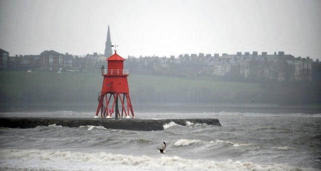

Thursday will see winds swing round to a north westerly direction which will restrict temperatures to just 7 degrees Celsius. There will be sunny spells with a 30 to 40 per cent chance of light showers throughout the late afternoon and evening. It will be another windy day with gusts in excess of 30 mph.
Friday will be another cold day with a northerly wind limiting the temperature to a high of 7 degrees Celsius. The winds will be lighter with a 40 per cent chance of light rain showers in the late afternoon and evening.