
Met Office weather warning for snow and ice issued for Tyne and Wear with significant accumulations

A weather warning for snow and ice has been issued for Tyne and Wear with the risk of disruption to travel.
The Met Office have issued the weather warning for Sunderland, Newcastle and South Shields, along with the wider North East region.


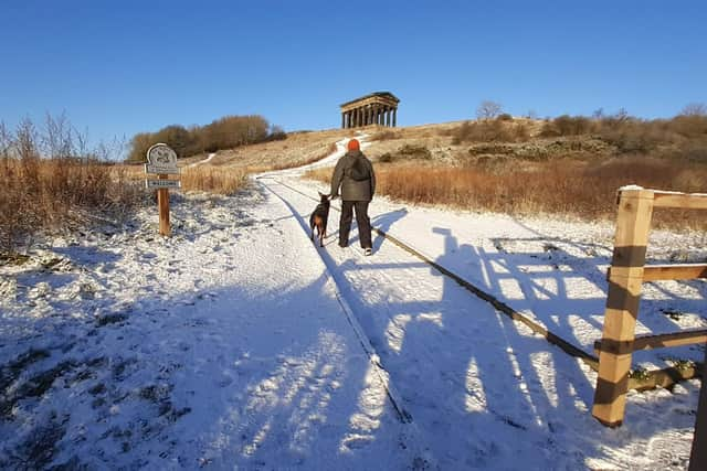
The warning is in place from 6am on Wednesday (November 19) until 6pm on Thursday.
A Met Office spokesperson said: “Snow showers will feed inland from the North Sea through Wednesday and Thursday, giving significant accumulations in places. Where these are most frequent, 2-5 cm will be possible at low levels, with 5-10 cm on hills above 100 m elevation, and potentially as much as 15-20 cm above 300 m.
“Some fairly strong gusts could be associated with the showers and some isolated lightning strikes are possible at times. Where showers persist and/or snow partially thaws and then refreezes overnight, this will bring a risk of ice.”
The current Met Office daily forecast for Tyne and Wear suggests a mixture of snow and sleet showers throughout Wednesday, which changes to a 60% chance of snow showers from 3pm and through the rest of night.
With temperatures falling to below freezing, the chance of snow showers remains at 60% to 70% throughout the early hours of the morning until 9am when the showers are expected to turn more to sleet.
The Government’s UK Health Security Agency has also issued a Cold Health alert for the North East which is now in place until November 22.