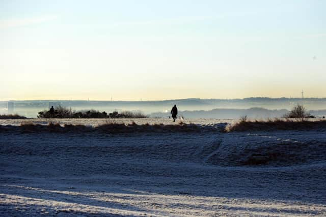
Snow showers predicted for South Shields with temperature to feel as low as -3C
and live on Freeview channel 276
After the region saw flurries and frosts through this week, yet more cold weather is on the way.
This is what we can expect in the days ahead.
What will it be like later on today, Saturday, April 10?

Tonight is likely to see showers die out inland in the region, leaving clear skies and a cold, frosty evening.
Near the coast, wintry showers may continue overnight.
Advertisement
Hide AdAdvertisement
Hide AdThe temperature is likely to be around 6C, dropping to 4C during the evening, but it will feel as cold as 2C during the evening.
Sunday, April 11 expected to see the worst of the sleet
The Met Office says wintry showers will fall along the east coast at first, becoming more widespread inland during the afternoon, and turning heavy at times over high ground.
Light snow showers for South Tyneside are predicted from 4am, turning to sleet at around 9am to 10am then it is expected to be clear with sunny intervals before a shower at 7pm.
During the early hours it could feel as cold as -3C.
As the morning starts, the temperature will be around 4C, but it will feel as cold as 0C to 1C.
Advertisement
Hide AdAdvertisement
Hide AdFurther frost expected as darkness falls at the end of the weekend
It will be cold and frosty overnight, with the lowest temperature hitting 0C and the maximum temperature will be around 5C as Monday, April 12 begins, but it could feel as cold as -4C overnight.
What about the week ahead?
It will feel milder from Monday with prolonged sunny spells.
It’s expected to be cloudier again on Tuesday, April 13 with possible showers particularly in the west, returning to brighter conditions on Wednesday, April 14.
Advertisement
Hide AdAdvertisement
Hide AdThe long range forecast from Thursday, April 15, to towards next weekend is it will start off with mainly settled conditions, but rain showers may spread erratically from the west at times.
The heaviest and most prolonged rain, as well as the strongest winds, are most likely for western and north-western areas, with eastern areas likely remaining drier and brighter.