STORM EUNICE IN SOUTH TYNESIDE: When will high winds hit? An hour-by-hour weather guide
and live on Freeview channel 276
The Met Office’s hour-by-hour forecast for the city suggests the high winds will peak around 4pm today, Friday, February 18, before gradually easing off during the evening and overnight.
The North East outlook says rain and hill snow first thing will clear away northeastwards to allow a brighter spell to develop during the morning.
Advertisement
Hide AdAdvertisement
Hide AdFurther wintry showers will arrive from the west during the afternoon, with gales developing later in the day.
Further bands of rain, sleet and hill snow will move across the region overnight and it will remain windy, with gales at first, easing later.
There will be a fairly widespread frost, with ice risk on hills.
Saturday will start chilly, with some wintry showers but should be dry, with bright spells.
Advertisement
Hide AdAdvertisement
Hide Ad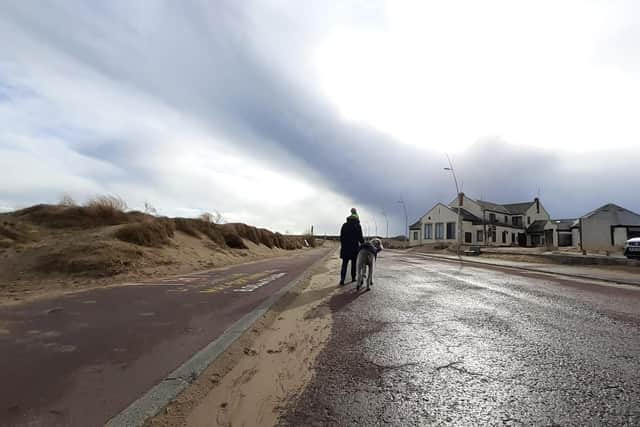

Sunday will see early rain, heavy at times, clearing to blustery showers and more widespread gales.
It will be windy with sunny spells and wintry showers on Monday and rain clearing to showers on Tuesday.
Hour-by-hour forecast
Time: Weather, temperature (feeling like), windspeed (gusting to)
Noon: Heavy rain, 5C (2C), 8mph (16mph)
1pm: Heavy rain, 4C (1C), 19mph (36mph)
2pm: Rain, 5C (0C), 20mph (37mph)
3pm: Cloudy, 4C (-2C), 22mph (41mph)
4pm: Cloudy, 4C (-2C), 26mph, (50mph)
5pm: Cloudy, 4C (-3C), 27mph (51mph)
6pm: Rain, 3C (-3C), 26mph (50mph)
7pm: Rain, 3C (-3C), 24mph (46mph)
8pm: Overcast, 3C (-2C), 22mph (41mph)
9pm: Cloudy, 3C (-2C), 18mph (34mph)
10pm: Overcast, 3C (-2C), 17mph (32mph)
11pm: Overcast, 3C (-3C), 16mph (31mph)