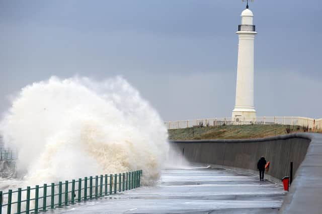
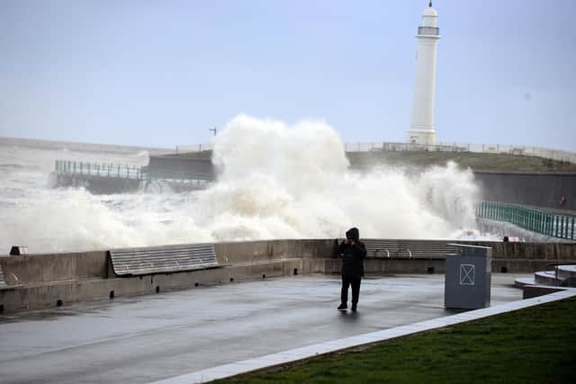
WEATHER UPDATE: Waves batter coast as high winds and heavy rain return causing flood alerts
and live on Freeview channel 276
The message comes just days after the region was battered by Storm Arwen.
The Met Office has today, Wednesday, December 1, issued 20 flood alerts for areas across the country – including the Tyne and Wear coast and the Tees estuary.
Advertisement
Hide AdAdvertisement
Hide AdForecasters are predicting that Seaham will be at particular risk: "Large and powerful waves are expected to overtop sea defences at Seaham Harbour and docks as a result of high tides and strong winds,” says the alert.
High tides are expected at 1pm, but strong waves are anticipated throughout the day, with overtopping possible any time from 12.15pm to 3.15pm.
The flood alert urges people to be careful: “Areas most at risk are beaches, promenades, coastal footpaths and roads. Please be careful along beaches, promenades, coastal footpaths and roads as large waves and sea spray could be dangerous.”
The Met Office also says river levels are rising on the Lower Tees and its tributaries as a result of heavy rainfall and snowmelt.
Advertisement
Hide AdAdvertisement
Hide Ad"Areas most at risk are riverside footpaths and low lying land and roads.”


And with further rain forecast to fall throughout through today, river levels are expected to remain high, though the Met Office does not anticipate having to issue any higher level flood warnings.
"Our incident response staff have closed the Yarm flood gates and they will remain closed through today,” it said.
“Please avoid using low lying footpaths near local watercourses.”
Support our journalism and subscribe to this website to enjoy unlimited access to news, sport, retro, daily puzzles and more online.

