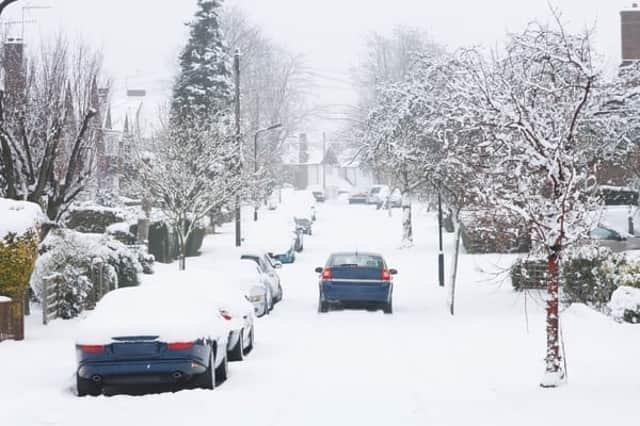
Here’s where it could snow on Christmas Day across the UK - according to the Met Office


Some parts of the UK may see a white Christmas after all, as temperatures have begun to drop and wintry conditions are forecast.
The Met Office says, “After an unsettled week we are expecting to see a cold frosty start to Christmas day before a return to wet and windy weather on Boxing Day.”
Advertisement
Hide AdAdvertisement
Hide AdWill it snow on Christmas Day?
After early rain in the south, Christmas Eve (24 Dec) will be a dry day with sunny spells for many areas.
Showers are expected for some coastal areas, especially for North Sea coasts “which could fleetingly turn to sleet or snow,” with the greatest chance of any accumulations expected over the North York Moors.
An area of high pressure is then expected to the west of the UK on Christmas Day (25 Dec), bringing with it cold and generally dry conditions for most.
After a cold, frosty start it will stay mainly dry with sunny periods, with coastal showers in the east forecast to soon fade.
Advertisement
Hide AdAdvertisement
Hide AdHowever, through the day cloud will increase from the northwest and “could be thick enough for light rain or snow over higher ground in the north,” adds the Met Office.
Milder, more unsettled conditions will then reach north western parts of the UK before the end of Christmas Day.
Boxing Day (26 Dec) is then forecast to see a change in weather conditions, with outbreaks of rain and showers in the northwest gradually spreading southwards, accompanied by strong winds.
“Snow is likely over higher ground in Scotland,” the Met Office says.
Advertisement
Hide AdAdvertisement
Hide AdWhat is the weather forecast over New Year?
Temperatures are expected to be below average as we approach 2021, with snow expected over hills. This is also likely to fall to lower levels at times, especially in - but not restricted to - the north.
The Met Office explains, “It is expected to stay unsettled for the rest of the weekend and in the run up to New Year. Outbreaks of rain, heavy showers and strong winds are likely, and there is an increased chance of snow down to lower levels in places.”
It will also be often windy, with a risk of coastal gales. However, going into early January there are signs that more settled weather will develop, particularly across western areas of the country.
If this occurs, overnight frosts will become more widespread and there are likely to be morning fog patches. Temperatures are likely to remain below average.