More details on plan to move Whitburn Coastal Path to help protect route from erosion
and live on Freeview channel 276
South Tyneside Council has submitted an application to its own planning department for the Whitburn Coastal Path, which in its entirety runs from the Whitburn Nature Reserve to the Whitburn Bents area.
Due to erosion and caves forming along the coastline, council officers are looking to prolong the lifespan of a stretch of the coastal path and improve its safety.
Advertisement
Hide AdAdvertisement
Hide AdDetails of the scheme were revealed in a presentation to councillors and members of the public earlier this year, with hopes works would ensure the “longevity” of the footpath for around the next 20 years.
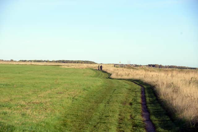

An application form from the council now provides more details on proposed works, which aim to “realign the coastal footpath and locate it inland”.
The application form adds: “The footpath will be approximately three metres wide and approximately 1,092 metres long from Sea Lane, Whitburn, to south of the former Whitburn Rifle Ranges on existing public open space.
“New surfacing [is proposed] on public footpath Boldon No.2 from Markham Avenue to the coastal footpath and public footpath Boldon No.3 from Rackly Way to the coastal footpath.
Advertisement
Hide AdAdvertisement
Hide Ad“The surfacing will be carboniferous limestone, no change of use is required”.
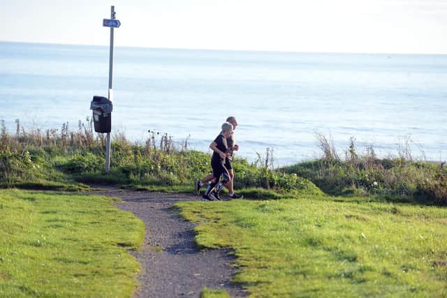
Council officers have previously stressed the importance of the Whitburn Coastal Path as it is part of a nationally designated walking route.
At a meeting earlier this year, project bosses said the route was already affected by erosion and flood risk but that the local authority needed to continually assess risks due to “increased storminess and climate change”.
A decision on plans to move part of the route inland will be made later this year once a period of council consultation has concluded.
Advertisement
Hide AdAdvertisement
Hide AdFor more information on the scheme, visit South Tyneside Council’s online planning portal and search reference: ST/0772/22/LAA
Highways works will move the stretch of the A183 Coast Road inland by a maximum of 25 metres and away from the clifftop at the tightest point, while the existing road will be returned to grassland.