
August Heatwave expected to peak today - This is how high temperatures will be in the North East


Temperatures have picked up across the region this week, and Wednesday looks like it will be the peak of the conditions.
It has been a glorious summer for most of us in the North East, and the current heatwave suggests this may continue throughout the remainder of the warmest season of the year, but how long can we expect the warm conditions to stay around this week?
The Met Office forecast predicted a major upturn in temperatures last week, with their prediction coming true to kick off this week and it is now thought we have seen the peak of this current weather front.
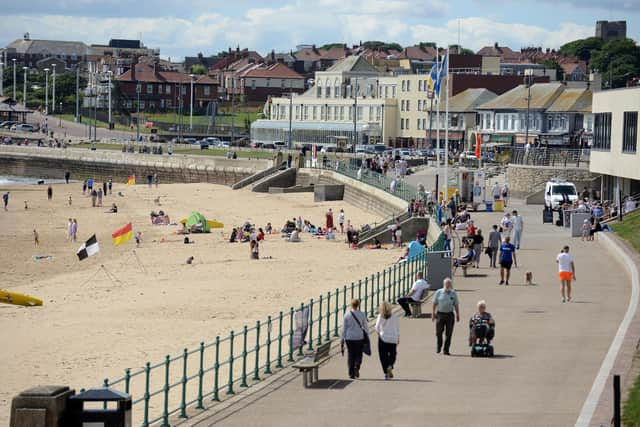
After highs of 25°C on Tuesday, August 12, the following day is expected to see more sun throughout the day with highs of 27°C.
These conditions will peak between 1pm and 3pm, with the mercury only falling below 20°C at 9pm.
The remainder of the week will return to normality again as temperatures begin to dip heading into the weekend. Highs of 26°C are expected on Thursday, before cloud cover prevents temperatures rising above 21°C on Friday.
A weekend of sunny spells will see conditions brely reach 20°C - a trend which will continue into the new week, albeit with more cloud and less sun.
The medium range forecast from the Met Office, which runs from Sunday, August 17 until Tuesday, August 26 reads: High pressure will be dominant across much of the UK at the start of this period. This will bring a good deal of fine and dry weather with spells of sunshine for many.
“Any showers will probably be confined to the far southwest of the UK but could be heavy and thundery. Temperatures are likely to be well above normal, especially in the south. Later, it will likely become more changeable with some showers or longer spells of rain at times.
“Rainfall is expected to be highest in the south where some heavy, thundery showers are possible, with drier conditions further north.”