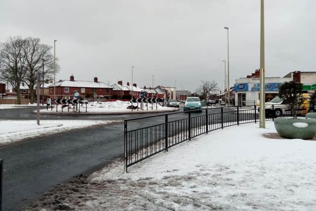
Met Office extends Yellow Weather Warning for South Tyneside for ice with potential snow and hail showers
and live on Freeview channel 276
This time last week and across the weekend, Spring had very much sprung as South Tyneside basked in clear, sunny and warm conditions with temperatures peaking at around 17 degrees Celsius - way above the March average.
However, with winds now swinging round to the north, it’s a return to winter with temperatures set to rise to a chilly five degrees Celsius – a drop of a whopping 12 degrees.
Advertisement
Hide AdAdvertisement
Hide AdThe windchill is forecast to make conditions this afternoon and evening feel more like sub-zero.
The dramatic drop in temperature has seen the Met Office issue another overnight weather warning for ice which will be in place from 9pm until 10am tomorrow (April 1) morning.

A statement on their website said: “Snow and hail showers could lead to icy surfaces, with possible travel disruption. There will probably be some icy patches on some untreated roads, pavements and cycle paths, leading to an increased chance of accidents or injuries.
"Some higher elevation roads may be also affected by snowfall, resulting in longer journey times.”

Advertisement
Hide AdAdvertisement
Hide AdThe forecast for South Shields will see showers and prolonged spells of rain throughout the afternoon with snow and sleet showers forecast for the early hours of Friday morning.
There will be a predominantly northerly wind which will gust up to 30mph.